File:Arcipelago siciliano nel Mar Mediterraneo.svg
Jump to navigation
Jump to search

Size of this PNG preview of this SVG file: 800 × 393 pixels. Other resolutions: 320 × 157 pixels | 640 × 315 pixels | 1,024 × 503 pixels | 1,280 × 629 pixels | 2,560 × 1,258 pixels | 1,754 × 862 pixels.
Original file (SVG file, nominally 1,754 × 862 pixels, file size: 1.2 MB)
Captions
Captions
Add a one-line explanation of what this file represents
Summary[edit]
| Description |
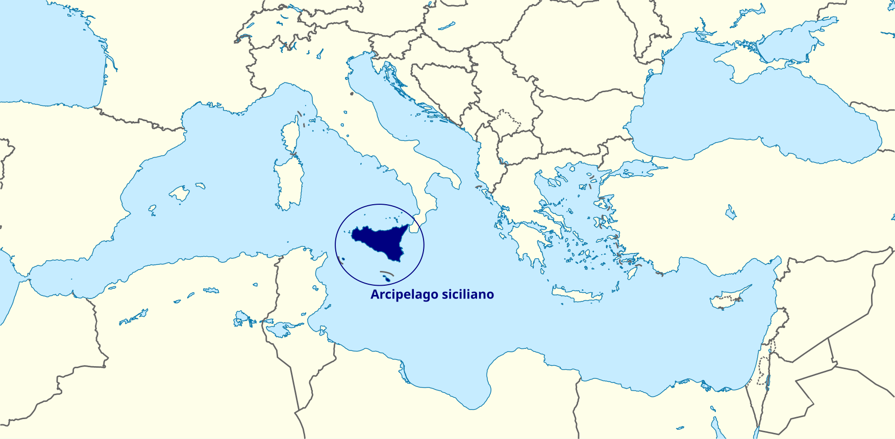
Deutsch: Positionskarte des Mittelmeers Quadratische Plattkarte, N-S-Streckung 128 %. Geographische Begrenzung der Karte: * N: 48.0° N * S: 29.0° N * W: 7.0° W * O: 42.5° O English: Location map of the Mediterranean Sea Equirectangular projection, N/S stretching 128 %. Geographic limits of the map: * N: 48.0° N * S: 29.0° N * W: 7.0° W * E: 42.5° E Italiano: Mappa di localizzazione del Mar Mediterraneo proiezione equirettangolare. Limiti geografici della mappa: * N: 48.0° N * S: 29.0° N * O: 7.0° O * E: 42.5° E |
| Date | (UTC) |
| Source |
This file was derived from: Mediterranean Sea location map with blue Sicily.svg: |
| Author |
| This is a retouched picture, which means that it has been digitally altered from its original version. The original can be viewed here: Mediterranean Sea location map with blue Sicily.svg:
|
Licensing[edit]
I, the copyright holder of this work, hereby publish it under the following license:
This file is licensed under the Creative Commons Attribution-Share Alike 3.0 Unported license.
- You are free:
- to share – to copy, distribute and transmit the work
- to remix – to adapt the work
- Under the following conditions:
- attribution – You must give appropriate credit, provide a link to the license, and indicate if changes were made. You may do so in any reasonable manner, but not in any way that suggests the licensor endorses you or your use.
- share alike – If you remix, transform, or build upon the material, you must distribute your contributions under the same or compatible license as the original.
Original upload log[edit]
This image is a derivative work of the following images:
- File:Mediterranean_Sea_location_map_with_blue_Sicily.svg licensed with Cc-by-sa-3.0
- 2012-12-27T11:59:44Z Yiyi 1754x862 (1255475 Bytes) == {{int:filedesc}} == {{Information |Description={{de|Positionskarte des [[:de:Mittelmeer|Mittelmeers]]}} Quadratische Plattkarte, N-S-Streckung 128 %. Geographische Begrenzung der Karte: * N: 48.0° N * S: 29.0° N * W: 7.0
Uploaded with derivativeFX
File history
Click on a date/time to view the file as it appeared at that time.
| Date/Time | Thumbnail | Dimensions | User | Comment | |
|---|---|---|---|---|---|
| current | 14:45, 13 February 2013 | | 1,754 × 862 (1.2 MB) | Yiyi (talk | contribs) | == {{int:filedesc}} == {{Information |Description={{de|Positionskarte des Mittelmeers}} Quadratische Plattkarte, N-S-Streckung 128 %. Geographische Begrenzung der Karte: * N: 48.0° N * S: 29.0° N * W: 7.0° W * O: 42.5° O {{en|Loc... |
You cannot overwrite this file.
File usage on Commons
There are no pages that use this file.
File usage on other wikis
The following other wikis use this file:
- Usage on it.wikipedia.org